There has been a *lot* going on in the housing file in BC over the last month. The announcements have been fast and furious from the Ministry of Housing and the Premier, and the responses from Local Governments, housing advocates, and status quo defenders have been all over the place – from this being the worst overreach in provincial history to a long-overdue response to a crisis 20 years in the making. My own feelings about it are similarly all over the place, so I figured I would take some time to unpack it all from a New Westminster perspective, and from the perspective of a local government elected person who has been advocating for serious action on the housing crises.
Maybe I should do one of those caveats where I say “all of this is my opinion, not the official position of the City or anyone else on Council”. An additional caveat may be that this is all a work in progress, as the province has not provided the enacting regulations yet. Local governments have been told that more details on implementation of the legislation along with instructions and guidelines are coming over the next few months. So the thoughts below are preliminary, and I reserve the right to be corrected in point of fact or event point of intention as this new landscape evolves.
I will go through by headline legislation, dealing with one piece of legislation in each of three separate blog posts. At the same time, recognize that these are overlapping measures in how they will be applied by Local Governments. They aren’t as separable as described here, and need to be viewed holistically. So with that in mind, the first blog post is:
Bill 44 : Multiplexes and more!
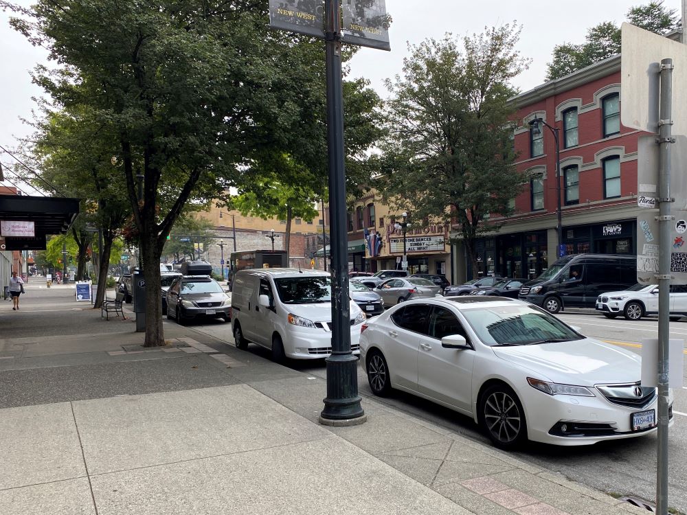
There are several components to Bill 44, but the short notes are that it brings to an end the most restrictive form of residential zoning – single Single Family Detached zoning – and requires local government to permit 3, 4, or 6 units per lot. It also takes away the local government’s ability to require off-street parking for these developments when they are near frequent transit. This bill also requires Local Governments to complete standardized Housing Needs Reports, to update their OCP and Zoning Bylaw by the end of 2025 to accommodate the need outlined in that HNR, and prohibits Public Hearings on residential development aligned with the Official Community Plan.
I’ll start by saying all of these are (in my opinion) good ideas. Much of this reflects good planning principles. We should be structuring our OCPs around a defensible analysis of housing need, and the OCP should be the part of the community planning process where the bulk of community consultation and input should occur, not the Public Hearing. The question put to the community can then be “how do we want to accommodate the need?” not “How do we feel about growth?”, because the latter has more often than not resulted decisions that don’t address the realistic needs of the community or region, and therefore a Plan that falls short in addressing a crisis. It is also clear that the era has ended where single family living on a 5,000+ square foot lot in the middle of a dense urban core is attainable for most people, or sustainable in the cost to service those lots.
Then come the details.
For New Westminster, this is mostly going to mean 4 units will be permitted as right without rezoning on every current “single family” lot. I use that term in quotes because most lots in New West already permit three units – a main house with a basement suite and a laneway/carriage house – although there are a variety of restrictions on overall size of the combined units and each component. We use the Development Permit process to manage the size, shape, and scale of laneway/carriage houses, based on guidelines developed through a lengthy process involving a lot of public consultation. We also permit (through Rezoning, Heritage Restoration Agreement or Development Variance Permits) some variance on these guidelines on a lot-by-lot basis.
Remember, the end of “Single Family Zoning” does not mean the end of Single Family homes. You will not be forced to build a fourplex if you would rather build a house, and you will not be forced to knock your house down to build a fourplex. These changes increase the variety of housing types that can be built, they don’t take options away.
So the switch from 3-units to 4-units might not seem that big, but the work to develop new replacement guidelines on what can be built is actually a significant piece of work. Everything from set-backs (how close to a property line you are allowed to build), maximum heights, FSR (Floor Space Ratio – how many square feet of living space you are allowed to build relative to your lot size), maximum lot coverage (we currently only let you cover half a lot with a building or impermeable surface – change that and you need to change how our storm drainage network operates) will need to be worked out through guidelines. There are engineering and utility considerations to all of this, and more important details than you might think. We may need to set standards around how driveways cross sidewalks (we don’t want driveways every 33 feet on major roads or greenways), how solid waste receptacles will be stored and picked up by the City, and how we will address our Tree Protection Bylaw, etc.
All this to say, there is a lot of work to do to build these guidelines, and it matters a lot to how the City functions if we don’t get them right. This is also work that impacts not just our Planning staff, but folks in Engineering and Parks and Open Spaces. Our overall desire to have public consultation around the shape of guidelines that impact every neighbourhood is another timeline challenge. As currently proposed, we need to do all of this by June, 2024 – 6 months after the regulations that point us here are released in December. That is an incredibly tight timeline, and I fully anticipate we will not able to make it.
New Westminster is still a smallish city, and our planning department is a small team. We don’t want to move people off of new development approvals, affordable building projects, and major projects like the 22nd Street Visioning process to do this work, because those projects could bring hundreds of new units on line every year, while four- and six-plexes may bring on dozens a year in the most optimistic model. The long-term benefits are huge, I worry about the short-term capacity issue.
The deadline for a Housing Needs Report is December, 2024, and I am more confident we can get this done, as it would build on one we recently completed. We have yet to see what the Province’s “Standard” HNR looks like, but there is already a grounding for this work. One potential challenge here is that we, like many medium-sized cities, relied on a consultant to help with some specialized components of this work, and those consultants may be harder to hire (and more costly) when there are 100 municipalities on BC all clamoring for the same work on the same deadline. I’m not sure there are enough people in the province trained to do this work. I would hope the Province would look to the “Naughty List” of cities to be prioritized here, and may relax the deadline for cities like New West who have already been meeting their needs targets if there is a capacity crunch next year. We shall see.
Once we have the HNR in hand, we will need to update the three OCPs in the City (Yes, we have three – the main one, and separate ones for Queensborough and the Downtown) by December 2025 so the OCPs reflect a plan to meet those identified needs. This is a relatively straight-forward process, and should be doable, though again the public consultation part will be the critical path. Last time the City completed an OCP re-write, it took us two years because we really invited the public in for a conversation about the future of the City. I don’t see a reason to do less his time around, especially as how the OCP is going to inform the shape of zoning more now than before, with so much pre-zoning of higher density areas. We will not have two years to do this, so it will be an intense period of public engagement. And intense means staff resources and stressed out community wishing to engage.
The impact this will have on current OCP-related projects like the 22nd Street Visioning, Master planning the Lower 12th Street area, or Sapperton Green is unclear at this time. There is a similar concern here as with the HNR about province-wide resources available to do this work. Significant OCP re-writes often require consultant support for economic modelling, public consultation, utility planning, and such. If 100s of Municipalities in BC are doing this all at once, it might be a very good time to be graduating from planning school.
Coming next – Bills 46 and 47…with maps!